Student review [#48453]
for Architecture and Urbanism
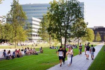
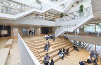
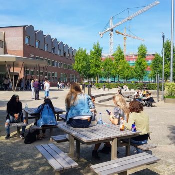
at Delft University of Technology - TU Delft
Delft, The Netherlands
The master program Urbanism at the TU Delft is a combination of research and design. Each quarter within the two-year master program there is aimed for a synergy between the research and the design throughout the scales, e.g. a square (Q2), a neighbourhood (also Q2), a city (Q1), and a metropolis (Q3). Especially in the latter scale during quarter three you are asked to level up the theoretical framework aspects and achieve a research-based design. The different scales ask for a different approach, which can be challenging.
For me, the Master Urbanism is closely related in content to education in Urban design at a Dutch University of Applied sciences. Therefore, the first two quarters of the Masters can be at one hand considered repetition if with similar mentioned background, or new knowledge when ones background is Architecture, Landscape Architecture or Spatial Planning. If one isn’t used to the approach that is used in Urbanism within the Netherlands, it will certainly provide new knowledge.
All cases within the program are located within the Netherlands, therefore a quarter is about water-management/water-resiliency, socio-ecological design, climate, the use of land and innovation. Only during the graduation year one can choose a site in a different part of the world.
A few programs that are used are QGIS (for spatial data analysis), ENVI-met (for researching climate interventions), Adobe and AutoCad/Rhino/Vectorworks.
Be aware that each faculty within the TU Delft can have its own way of teaching. The Faculty of Architecture is usually considered one of the most design-oriented faculties and therefore less research-based, with knowledge gained during the courses implemented.
You might like these Universities